
Map:
Food & Farm Sky Tour
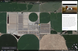
Soar with Google Earth to explore farms and food processing across the United States. Use the state agricultural information, videos, and satellite map to investigate connections between geography, climate, and the crops and livestock grown and raised in each state.
Lessons Associated with this Resource
Author
Lynn Wallin | National Center for Agricultural Literacy (NCAL)