Background Agricultural Connections
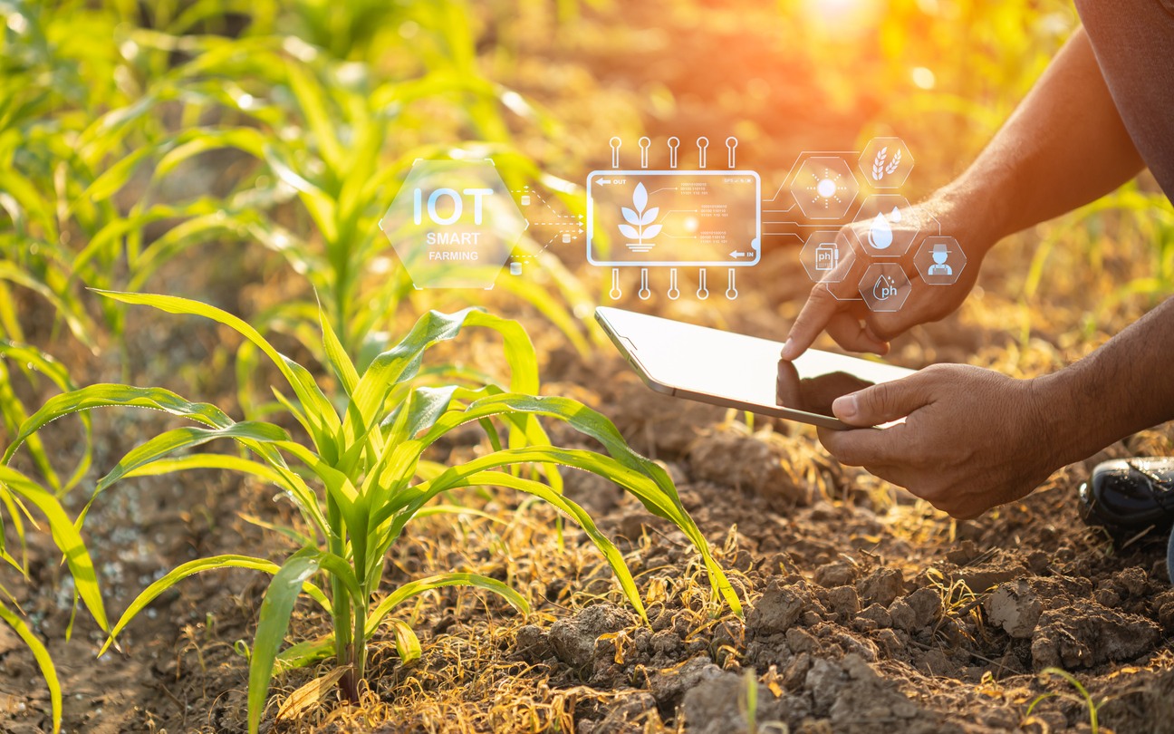
How many people will inhabit the world in 2050? About 9.2 billion-- up from the 7 billion here today! And to make sure that everyone has enough to eat, global food production will need to increase by 70 percent. So how exactly will this be done? Precision agriculture is the answer!
Agriculture has changed dramatically throughout the past years. In the past, almost everyone was a farmer. These farmers produced a variety of crops and livestock that they fed to their immediate families. Today, only 2% of the population is involved in production agriculture. These farmers have specialized operations and feed 155 people (Prax, 2010).
Key STEM IDEAS
Engineering allows us to define and solve real-world problems. Engineering concepts are changing agriculture by applying technology to improve food production. New equipment allows farmers to put in less labor to achieve larger yields. Precision agriculture is a farming management concept based on observing, measuring, and responding to inter- and intra-field variability in crops. Variable rate irrigation is a type of precision agriculture that involves applying water at a variable rate along the center pivot rather than one uniform rate along the entire length of the system. Variable rate irrigation has many uses for applying water at different rates to wet areas, different soil types, and overlapping pivots.
Connections to Agriculture
Variable rate irrigation is made possible by the use of the GPS, field computer, rate controller, telematics, and a meter. GPS is used by farmers to create field maps to determine a field’s boundaries. Field computers allow farmers to control the application of fertilizers, herbicides, and pesticides through automated delivery systems. Farmers are able to monitor yields and moisture using computers. Rate controllers make it possible for farmers to control how much irrigation, fertilizer, etc. is applied in a field. Telematics allows information collected in a field to be transferred in the internet.
Water use efficiency is calculated by determining the difference between irrigated yield and dryland yield and dividing that by the irrigation in inches. By performing these calculations, farmers will discover how much they should irrigate a section in order to increase yields and save water.