From Sap to Syrup
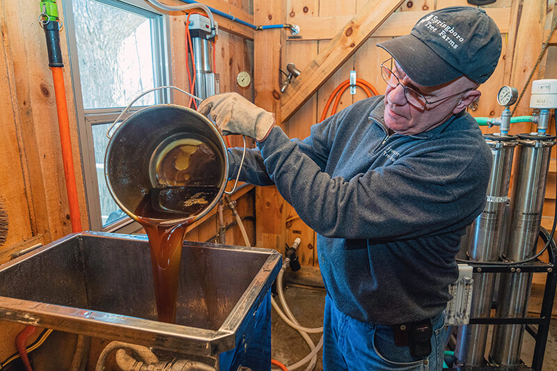
Students recognize how geography and climate allow for the growth of maple trees and the process of making syrup, identify the characteristics of maple trees that produce the best sap for making maple syrup, and name the steps in the process of creating syrup from sap.

Background
Lesson Activities
Recommended Companion Resources
Credits
Author
Karen Cardinal | Minnesota Agriculture in the Classroom
Sources
- http://tapmytrees.com/faq/#1503631199543-510dfeb0-45c7
- https://www.nass.usda.gov/Statistics_by_State/New_York/Publications/Latest_Releases/2017/2017_Maple_Syrup.pdf
- https://www.maplesyrupworld.com/pages/Maple-Syrup-History.html
- https://www.arborday.org/trees/treeguide/treedetail.cfm?itemID=870
- https://files.dnr.state.mn.us/destinations/state_parks/maplesyrup_how.pdf
- https://vermontmaple.org/how-maple-syrup-is-made
Standards
National Content Area Standards
- Social Studies – Geography
- Geography Standard 1 (Grades K-2): How to use maps and other geographic representations, geospatial technologies, and spatial thinking to understand and communicate information.
- Objective 1: Properties and functions of geographic representations—such as maps, globes, graphs, diagrams, aerial and other photographs, remotely sensed images, and geographic visualizations.
- Objective 4: The interpretation of geographic representations.
- Geography Standard 8 (Grades K-2): The characteristics and spatial distribution of ecosystems and biomes on Earth's surface.
- Objective 2: The characteristics of ecosystems.
- Geography Standard 14 (Grades K-2): How human actions modify the physical environment.
- Objective 1: People modify the physical environment.
- Geography Standard 16 (Grades K-2): The changes that occur in the meaning, use, distribution, and importance of resources.
- Objective 1: The characteristics of renewable, nonrenewable, and flow resources.
- Objective 3: The sustainable use of resources in daily life.
- Geography Standard 1 (Grades K-2): How to use maps and other geographic representations, geospatial technologies, and spatial thinking to understand and communicate information.
- Science
- K-ESS3: Earth and Human Activity
- K-ESS3-1: Use a model to represent the relationship between the needs of different plants or animals (including humans) and the places they live.
- K-ESS3: Earth and Human Activity

