
Tasty Testing
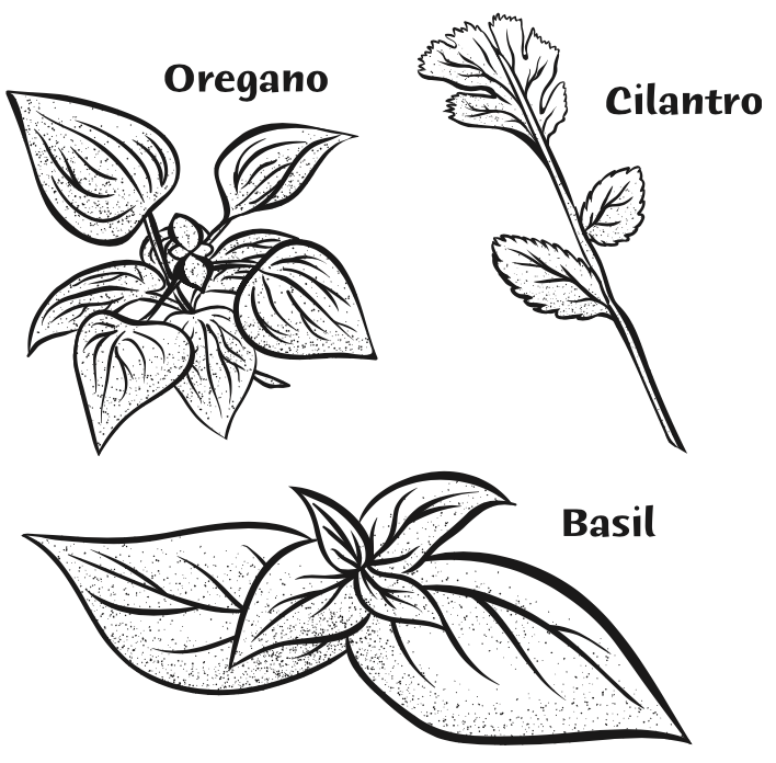
Students discover the geographic regions where basil, oregano, and cilantro have cultural significance, understand the role of evaporation in herb drying, and recognize the different properties of dried and fresh herbs.
Background
Lesson Activities
 Students will read the text and answer the related questions. Allow the students 5-10 minutes to complete the fill-in-the-blank portion of the activity.
Recommended Companion Resources
Credits
Author
Mandi Bottoms | California Foundation for Agriculture in the Classroom
Acknowledgements
- Contributing Writers and Editors: Liz Baskins, Judy Culbertson, Mindy DeRohan, Len Fingerman, Hayley Lawson, Brenda Metzger, Judee Sani, Sue Squires
- Funding for this lesson series was made possible by the USDA Agricultural Marketing Service through grant 17-0275-022-SC. Its contents are solely the responsibility of the authors and do not necessarily represent the official views of the USDA.
Standards
National Content Area Standards
- Social Studies – Geography
- Geography Standard 1 (Grades 3-4): How to use maps and other geographic representations, geospatial technologies, and spatial thinking to understand and communicate information.
- Objective 1: Properties and functions of geographic representations—such as maps, globes, graphs, diagrams, aerial and other photographs, remotely sensed images, and geographic visualizations.
- Objective 2: Geospatial data are connected to locations on Earth’s surface.
- Geography Standard 1 (Grade 5): How to use maps and other geographic representations, geospatial technologies, and spatial thinking to understand and communicate information.
- Objective 1: The advantages and disadvantages of using different geographic representations--such as maps, globes, graphs, diagrams, aerial and other photographs, remotely sensed images, and geographic visualizations for analyzing spatial distributions and patterns.
- Objective 4: The use of geographic representations to ask and answer geographic questions.
- Geography Standard 1 (Grades 3-4): How to use maps and other geographic representations, geospatial technologies, and spatial thinking to understand and communicate information.